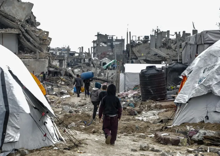
Photo credits
Photo: © Tomas Castelazo, www.tomascastelazo.com / Wikimedia Commons / resized and cropped; adapted image licensed CC BY-SA 4.0.The World Meteorological Organization warned on 3 September 2026 that an established El Niño was expected to strengthen into a very strong event. Its published outlook described increased risks of changing rainfall, drought, floods and extreme heat, with effects extending into 2027.
A forecast provides time to prepare
Reuters’ public report of the Geneva briefing recorded the WMO explaining unusually warm tropical Pacific waters. The WMO outlook assigned nearly 100% probability to El Niño persisting through February 2027. That confidence concerns persistence of the climate pattern; it does not mean every place has a certain forecast of flooding or drought.
El Niño is a naturally occurring Pacific ocean–atmosphere pattern. It is distinct from human-caused climate change, even as its effects occur in a warmer world. Other ocean conditions can alter the regional response, which is why local forecasts matter.
Resilience begins before the emergency
WDWK’s perspective is that useful warnings should prompt practical planning: checking water supplies, heat arrangements and the continuity of essential services before disruption arrives. The WMO identifies national meteorological and hydrological services as the authoritative source of local warnings. This retrospective summarises the September outlook; it is not a replacement for the latest local alert or a report that forecast impacts have already occurred.
Sources and reporting note
- Reuters Connect · Public Geneva briefing report, 3 September 2026
- WMO · El Niño outlook, 3 September 2026
An original WDWK summary of the linked reporting and primary documents. Historical event dates are separate from this article’s publication date. Photography is credited above and provides archive or contextual illustration.